Photo: scaled map
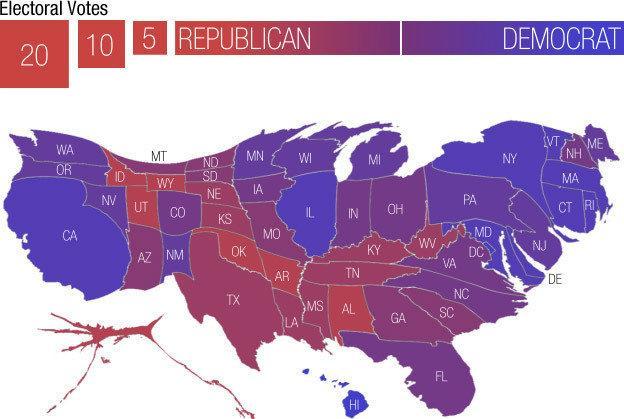
A map of the US scaled according to how many electoral votes each state receives.
Show comments
Comments
No comments.
Please ensure that all comments are mature and responsible; they will go through moderation.
A map of the US scaled according to how many electoral votes each state receives.
No comments.
Please ensure that all comments are mature and responsible; they will go through moderation.